Inside Sentinel-2: the free satellite watching every construction site on Earth
ESA's Sentinel-2 mission captures the entire planet every 5 days at 10m resolution. We break down how it works — and why it changed monitoring forever.
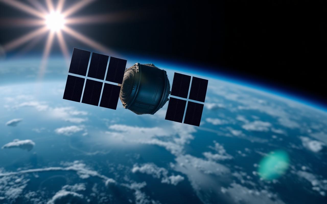
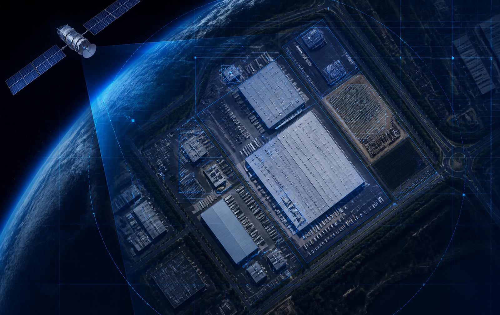
Sentinel-2 is a constellation of two identical satellites operated by the European Space Agency. Together they revisit every point on Earth's land surface every 3–5 days, capturing 13 spectral bands at resolutions from 10 to 60 meters per pixel.
At 10m/pixel, you can clearly see foundation slabs, structural steel, large equipment, and pavement
You won't read a license plate, but you will absolutely see whether a 50,000 sq ft warehouse pad has been poured.
Critically, the data is free and openly licensed
That means platforms like Terra Trace IQ can monitor an unlimited number of sites without per-image royalties — and pass those savings on to lenders and developers.
We fuse Sentinel-2 with Landsat-9 (NASA/USGS) and commercial sub-meter providers when sites need higher resolution. The result is a continuous, multi-source timeline of every project you care about.
Pricing
Start monitoring your sites this week
Month-to-month plans, cancel anytime. Every plan includes weekly satellite captures, AI change detection, and automated PDF reports.
Starter
For lenders and developers monitoring a single active project.
- 1 active site
- Weekly satellite captures
- Automated PDF reports
- Email support
Growth
For portfolios of 2–25 active loans or projects.
- Up to 25 sites
- Daily captures + alerts
- Branded reports + API
- Portfolio dashboard
Enterprise
For institutional lenders, funds, and insurers at scale.
- Unlimited sites
- SSO / SAML
- Dedicated CSM
- Custom SLAs
A traditional in-person draw inspection costs $1,200–$3,500. Satellite monitoring delivers weekly verification for a fraction of that — see the full pricing page for volume discounts.