Commercial Satellite Imagery for Business: Providers, Pricing & Real Use Cases (2026)
What commercial satellite imagery actually costs, which providers and resolutions fit which jobs, how businesses use it for construction, insurance, agriculture and supply chain, and how to buy it without wasting budget.
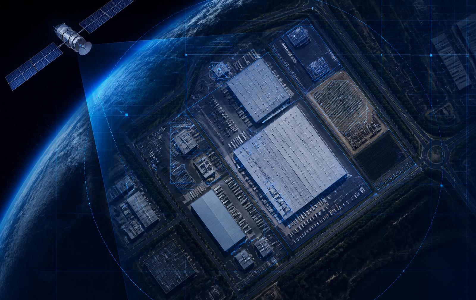
Commercial satellite imagery is Earth-observation data captured by privately operated satellites and licensed to businesses, as opposed to free public imagery from government programs like Copernicus Sentinel-2 or Landsat. In 2026 it is no longer an aerospace-budget purchase: a business can get a fresh, verifiable, time-stamped picture of any site on Earth for less than the cost of sending one person to stand on it. This guide covers what the imagery actually costs, which resolution you need for which decision, who the major providers are, how businesses use it day to day, and the buying mistakes that waste the most money.
Free vs commercial imagery — where the line actually falls
Free public imagery is genuinely useful and genuinely limited. Sentinel-2 delivers 10-meter-per-pixel multispectral coverage of every landmass on Earth with a 3–5 day revisit, openly licensed under the European Space Agency's Copernicus program. Landsat-9 adds 30-meter data with a long historical archive back to the 1970s. At 10m/pixel you can reliably see cleared land, graded pads, poured slabs, structural steel, large equipment, stockpiles, pavement, roofing, and standing water. What you cannot see is anything smaller than a shipping container: individual workers, window installation, or the make of a truck. Commercial imagery starts where that ends — 30cm to 50cm resolution, tasked on demand, with same-day or next-day delivery. The practical rule: use free imagery for change over time, buy commercial imagery when you need detail in a single moment.
Resolution tiers and what each one is good for
10m (Sentinel-2, free) — site-level change detection, construction phase tracking, land use, vegetation and water. 3–5m (PlanetScope-class, low cost, daily) — daily monitoring of medium-sized features, stockpiles, parking density, earthwork progress. 1m–50cm (SkySat, Pléiades Neo, WorldView-class) — vehicle counts, individual building footprints, roof condition, equipment identification. 30cm and sharper (WorldView Legion, Pléiades Neo) — insurance damage assessment, detailed asset inventory, forensic verification. SAR radar imagery (ICEYE, Capella, Sentinel-1, free) — a separate category that sees through cloud and darkness, essential for flood mapping, storm response, and monitoring perpetually cloudy regions.
How much does commercial satellite imagery cost in 2026?
Pricing is quoted per square kilometer with a minimum order area, and the two big multipliers are resolution and whether the image is archived or newly tasked. Typical market ranges: archive imagery at 50cm–1m runs roughly $10–$25 per km² with 25 km² minimums; newly tasked 30–50cm imagery runs roughly $25–$45 per km² with minimums of 25–100 km²; SAR tasking is typically priced per scene in the low hundreds to low thousands of dollars; daily 3–5m monitoring is usually sold as an annual subscription rather than per image. Two cost traps catch most first-time buyers. First, the minimum order area: a 4-hectare construction site is 0.04 km², but you will pay the 25 km² minimum, so a single 'cheap' 30cm image often lands at $500–$1,200. Second, tasking is not guaranteed — you may pay for a collection attempt that returns 80% cloud cover, and reshoot policies vary by provider.
The pricing math that matters for recurring monitoring
One-off imagery purchases are simple to price and almost always the wrong structure for an ongoing question. If you need to know whether a site is progressing every week for 18 months, buying 78 individual tasked images at minimum-order pricing is financially absurd. That is why analytics subscriptions exist: they fuse free high-cadence public imagery with selectively purchased commercial captures and sell you the answer rather than the pixels. For context, Terra Trace IQ monitors a construction site for $149–$199 per site per month including captures, AI change detection, and automated reports — roughly $3,576 across a 24-month loan term, versus $1,200–$3,500 for a single in-person inspection. If your question is recurring, buy monitoring. If your question is a single moment in time, buy an image.
Major commercial satellite imagery providers
Maxar Technologies — WorldView Legion constellation, 30cm class, the deepest high-resolution archive, strong in defense, insurance, and mapping. Planet Labs — PlanetScope for daily 3–5m global coverage plus SkySat for 50cm tasking; the standard choice for high-cadence monitoring. Airbus Defence and Space — Pléiades Neo at 30cm and SPOT at 1.5m, strong European coverage. BlackSky — rapid-revisit high-resolution tasking optimized for time-sensitive events. ICEYE and Capella Space — SAR constellations for cloud-penetrating and night imaging. Satellogic — lower-cost 1m multispectral. Plus the free tier: ESA Copernicus (Sentinel-1 and Sentinel-2) and USGS/NASA (Landsat), both openly licensed and accessible through public APIs and cloud data catalogs.
Business use case 1 — construction and real estate development
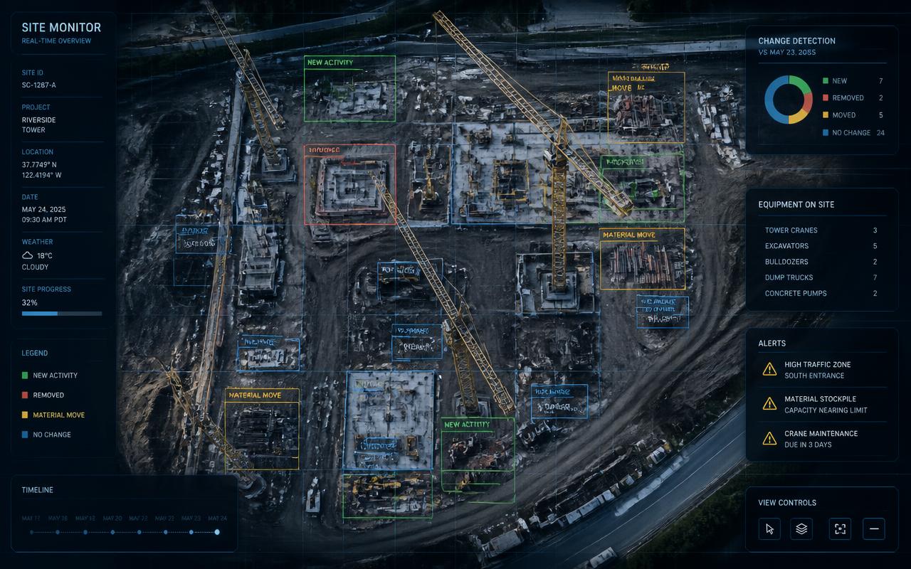
Satellite imagery gives lenders and developers objective, third-party, time-stamped evidence that work is physically happening. A weekly capture compared against the prior baseline quantifies percent change and tags the construction phase — earthwork, foundation, framing, dry-in, finishes. Lenders use it to verify draw requests without flying an inspector; developers use it to defend timeline claims against owners and investors; asset managers use it to watch 100+ projects across multiple states from one dashboard. Because imagery is captured independently and can never be back-dated, it also closes the door on recycled progress photos and phantom-milestone draw fraud, a category that costs U.S. lenders an estimated $5–10 billion a year.
Business use case 2 — insurance and risk
Carriers use pre-event archive imagery to establish property condition before a storm and 30cm post-event tasking to triage claims within 48 hours, prioritizing adjuster deployment to the worst-hit addresses. SAR imagery maps flood extent through cloud cover when optical satellites are blind. Underwriters use imagery to verify roof condition, defensible space around wildfire-exposed properties, and whether the insured structure matches the application.
Business use case 3 — agriculture
Multispectral bands (particularly near-infrared) produce vegetation indices like NDVI that reveal crop stress days before it is visible from a truck window. Free Sentinel-2 data at 10m is sufficient for field-level management on most row crops, which is why agriculture is the one major industry where the free tier alone supports a real commercial product. Growers and ag lenders use it for yield forecasting, irrigation targeting, and verifying planted acreage against crop insurance filings.
Business use case 4 — supply chain, energy, and competitive intelligence
Analysts count cars in retail parking lots, measure crude oil in floating-roof tanks by shadow length, track container throughput at ports, monitor mine stockpile volumes, and watch competitor facility expansion. Utilities and pipeline operators use imagery for vegetation-encroachment management along rights of way. Environmental teams use it for deforestation, methane plume, and reclamation monitoring.
How to buy satellite imagery without wasting budget
Step 1 — write the question first, not the spec. 'Did the concrete pour happen the week of the 14th?' needs different data than 'how many cars are in this lot each Saturday?' Step 2 — check the free archive first; Copernicus Browser and USGS EarthExplorer are free, and for many change-over-time questions Sentinel-2 answers it outright. Step 3 — if you need higher resolution, search the commercial archive before tasking; archive is cheaper and instantly available. Step 4 — only task when recency is essential, and confirm the cloud-cover threshold and reshoot policy in writing. Step 5 — check the license: many commercial licenses restrict redistribution, so if you plan to put the image in a report shown to investors or in litigation, buy the license tier that permits it. Step 6 — if the question repeats, switch from purchasing pixels to a monitoring subscription.
Common mistakes
Over-buying resolution is the most expensive one: 30cm imagery costs several times more than 3m and answers no additional question if you only need to know whether a slab was poured. Ignoring revisit rate is the second: a stunning 30cm image from six weeks ago is worthless for a decision you have to make Friday. Ignoring cloud cover is the third, especially in tropical and coastal regions where optical tasking can fail repeatedly and SAR is the only reliable answer. And treating imagery as a picture rather than a measurement is the fourth — the value is in the quantified change between captures, not in any single frame.
The bottom line
Commercial satellite imagery in 2026 is a mature, competitively priced utility. Free 10m public data solves more business problems than most buyers expect and should always be the first stop. Commercial 30–50cm tasking is the right tool for single-moment detail and event response, priced at roughly $10–$45 per km² with real minimum-order floors. And for any question you have to answer repeatedly — is this site progressing, is this asset intact, is this claim true — a monitoring subscription that fuses both tiers and delivers the analysis costs a fraction of buying imagery ad hoc and a small fraction of sending a person.
FAQ
Frequently asked questions
How much does commercial satellite imagery cost?
In 2026, archive imagery at 50cm–1m resolution typically costs about $10–$25 per square kilometer, and newly tasked 30–50cm imagery about $25–$45 per square kilometer, both with minimum order areas of 25–100 km². Because of those minimums, a single high-resolution image of a small site usually lands between $500 and $1,200. Recurring monitoring subscriptions are far cheaper per observation — Terra Trace IQ, for example, is $149–$199 per site per month including captures, change detection, and reports.
What is the difference between free and commercial satellite imagery?
Free imagery from Copernicus Sentinel-2 (10m/pixel) and Landsat-9 (30m/pixel) covers the entire planet every few days at no cost and is ideal for tracking change over time. Commercial imagery from providers like Maxar, Planet, and Airbus offers 30cm–1m detail and on-demand tasking, which you need when the decision depends on fine detail in a single moment rather than change between captures.
What resolution satellite imagery do I need for my business?
Use 10m free imagery for site-level change detection, construction phase tracking, and land use. Use 3–5m daily imagery for stockpiles, earthwork, and parking density. Use 1m–50cm for vehicle counts, building footprints, and roof condition. Use 30cm for insurance damage assessment and forensic verification. Use SAR radar when clouds or darkness would block an optical satellite.
Who are the main commercial satellite imagery providers?
Maxar Technologies (WorldView Legion, 30cm), Planet Labs (daily PlanetScope plus SkySat tasking), Airbus Defence and Space (Pléiades Neo, SPOT), BlackSky (rapid-revisit tasking), and the SAR operators ICEYE, Capella Space, and Satellogic. Free public data comes from ESA Copernicus (Sentinel-1/2) and NASA/USGS (Landsat).
How do I buy satellite imagery of a specific location?
Define the question and the date window first, then search the free archives (Copernicus Browser, USGS EarthExplorer). If you need more detail, search the commercial archive before tasking a new capture, since archive imagery is cheaper and immediately available. Task only when recency is essential, and confirm cloud-cover thresholds, reshoot policy, and the redistribution license before ordering.
Can satellite imagery track construction progress?
Yes. At 10m resolution you can clearly see grading, slabs, structural steel, roofing, pavement, and large equipment, which is enough to confirm construction phase and quantify week-over-week change. Terra Trace IQ captures each site every 3–5 days, runs AI change detection against the prior baseline, and delivers an automated progress report — giving lenders and developers objective, time-stamped proof that work is actually happening.
Pricing
Start monitoring your sites this week
Month-to-month plans, cancel anytime. Every plan includes weekly satellite captures, AI change detection, and automated PDF reports.
Starter
For lenders and developers monitoring a single active project.
- 1 active site
- Weekly satellite captures
- Automated PDF reports
- Email support
Growth
For portfolios of 2–25 active loans or projects.
- Up to 25 sites
- Daily captures + alerts
- Branded reports + API
- Portfolio dashboard
Enterprise
For institutional lenders, funds, and insurers at scale.
- Unlimited sites
- SSO / SAML
- Dedicated CSM
- Custom SLAs
A traditional in-person draw inspection costs $1,200–$3,500. Satellite monitoring delivers weekly verification for a fraction of that — see the full pricing page for volume discounts.